

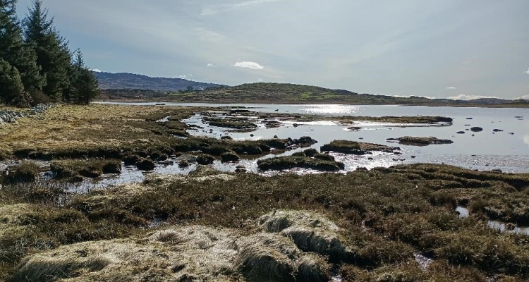
Guest blog from Highlands Rewilding: Why baseline intertidal zones?
If you are managing marine and intertidal sites, these vulnerable habitats can be important indicators of climate change, as well as biodiversity-rich carbon sinks.
With the ever-intensifying effects of increased rainfall and rising sea temperatures, vulnerable habitats like saltmarsh, seagrass and oyster beds will be some of the first to indicate change.
These three intertidal habitats provide protection to the shorelines from erosion and flooding by buffering waves, they trap sediments, absorb rainwater and protect water quality by filtering terrestrial runoff. They are also highly biodiverse, supporting migratory birds, specialist plants, indigenous insects, juvenile fish and crustaceans. Further, they act as natural carbon sinks, storing carbon both in plants and sediment. Seagrass environments can store carbon 35 times faster than rainforest and despite covering only 0.1% of the ocean floor, they store up to 18% of global marine carbon.

Fig 1: Seagrass when the tide is at its highest

Fig 2: Saltmarsh habitat

Fig 3: Intertidal Ostrea edulis native oysters
If you own or manage coastal land and are looking to baseline for biodiversity uplift, carbon sequestration and storage, surveying your intertidal and marine zones is a vital first step. Evidence of species loss, erosion, die back or high silt levels could all indicate a deterioration of habitat and a need for restoration.
Tayvallich Estate, managed by Highlands Rewilding, is home to many of these important habitats, and our current mapping and coding work to assess their conservational health is vital.
Getting an accurate assessment of the intertidal requires boots on the ground and scientific methodology using basic tried and tested sampling. Reconnaissance walks, transect and quadrat surveys are carried out repeatedly at first and second low tides, with photographs taken of each quadrat’s contents.

Fig 4: Transect line – measuring tape and gridded quadrat
These images in combination with the coordinates and survey length act as a baseline guide for what is present at that point in time, and allow for the monitoring of the site through a simple comparison of the digital stills. Once all the images have been analysed, a code denoting the habitat type is assigned to the section of the surveyed intertidal zone.
Each code is accompanied by a list of species associated with the habitat type, these are indicators of health and have been identified and assessed by taxonomists specialising in that environment. Returning in a year to repeat these assessments will show whether these biotope indicators have changed and give a picture of the health of the environment.
Creating a map of the intertidal biotope codes around the coastal site is proving a powerful tool in the long-term management of these highly sensitive habitats.
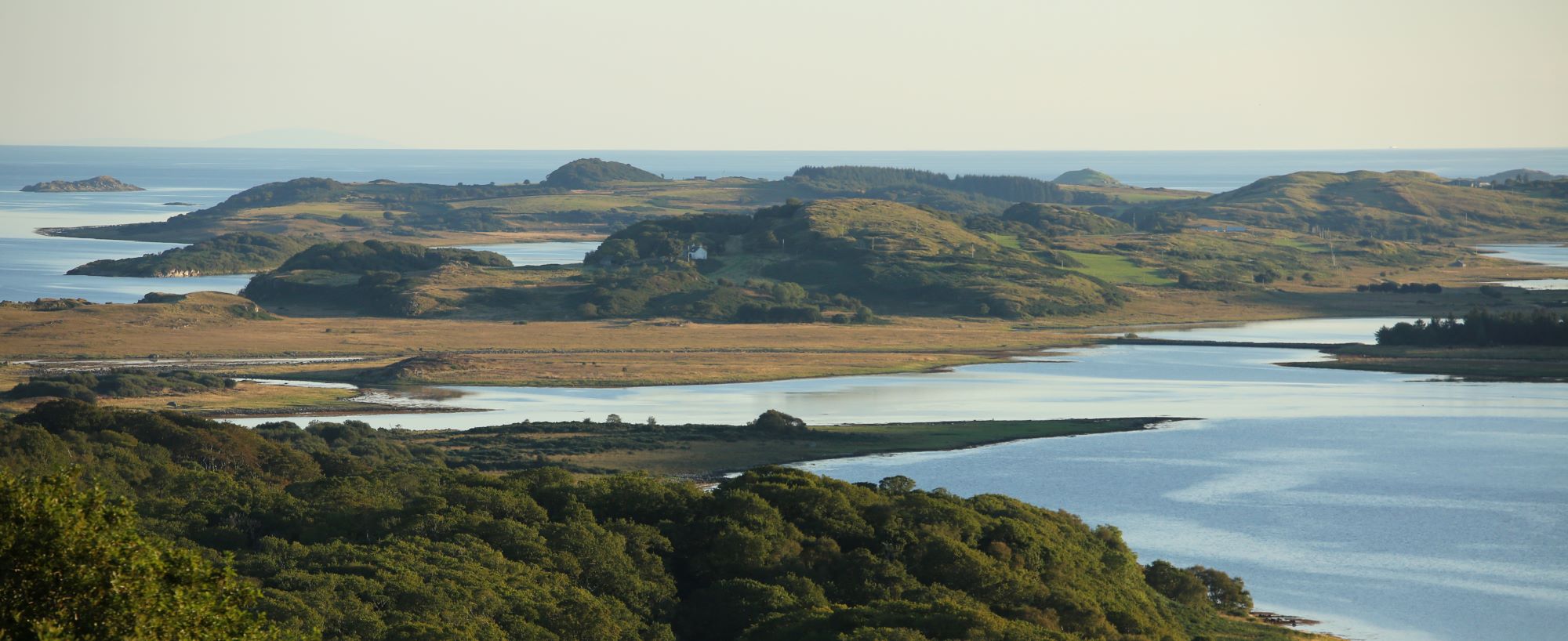
Fig 5: Tayvallich coastline
Through OSPREY, Highlands Rewilding offers partnerships for managing land and coast for natural capital uplift and ecosystem restoration. Get in touch to find out more: info@highlandsrewilding.co.uk

Dr David Smyth - Marine Rewilding Lead
The views expressed in this blog are those of Reheat and do not necessarily reflect the views of Scottish Land & Estates. No liability can be accepted by Scottish Land & Estates or any of its staff for any misstatement in it or omission from it.
Comments